
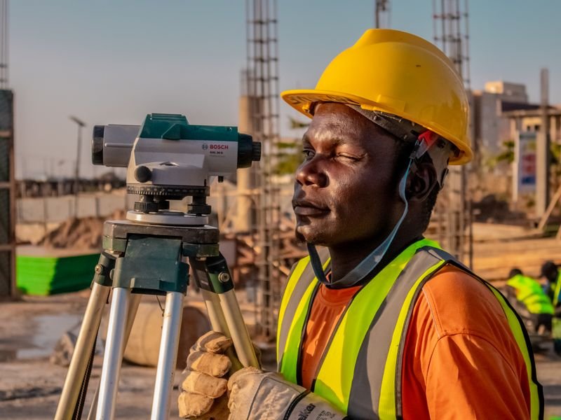
A GNSS RTK receiver (often called "GPS RTK") is the fastest tool for surveying and setting out in open areas in Saudi Arabia, but results depend on more than the hardware. To choose well, settle three things: where your corrections come from (your own base or a network correction service), how you tie to the national KSA-GRF17 reference frame and the right UTM zone, and how you convert ellipsoidal heights to orthometric heights with a geoid model.
Looking for the best surveying office in Saudi Arabia? Read our guide to choosing the best surveying office in Saudi Arabia: licence, classification, KSA-GRF17 and deliverables.
How RTK differs from ordinary GPS
A phone or car GPS gives metre-level positions. RTK uses corrections from a reference station with known coordinates to reach centimetre-level accuracy in good conditions. It is used for topographic surveys, plot boundary stakeout, roads and infrastructure, and secondary control. Modern receivers track GPS, GLONASS, Galileo and BeiDou, which helps where the sky is partly blocked. A total station still complements RTK between buildings and in tunnels.
Base/rover or network corrections?
- Base/rover: a base on a known point sends corrections by radio to the rover. Good for remote sites with weak mobile coverage and when you want full control of the reference. It needs two receivers and a reliable control point, and accuracy degrades with distance from the base.
- Network RTK: the rover connects over the internet to a correction service built on permanent reference stations. One receiver is enough and it suits cities with good coverage, but it depends on a subscription and a stable connection.
Pick a receiver that supports both, and confirm which operator runs your correction service and in which reference frame its coordinates are broadcast.
Tying to KSA-GRF17
The Kingdom uses the national geodetic reference frame KSA-GRF17 on the GRS 1980 ellipsoid, replacing older datums such as Ain el Abd. Working in the wrong frame can create metre-level shifts against approved plans.
- Agree the project reference frame in writing.
- Make sure the base or network coordinates use the same frame.
- Choose the right UTM zone: 36N west of 36°E (NEOM), 37N for 36–42°E (Jeddah, Makkah, Madinah, Tabuk, Yanbu), 38N for 42–48°E (Riyadh, Qassim, Hail, Abha), 39N for 48–54°E (Dammam, Khobar, Jubail, Al-Ahsa).
- Check on a known control point before any survey or stakeout.
See our KSA-GRF17 and UTM guide and the coordinate converter.
Heights and the geoid
GNSS heights are ellipsoidal, not heights above mean sea level as drainage, road and building levels require. A geoid model bridges the two. Load the project geoid model in your field software, tie to known benchmarks on site, and for level-critical work such as drainage networks verify with precise levelling.
Comparison criteria
- Constellations and frequencies supported.
- Tilt compensation for measuring near walls and edges.
- Internal radio and its range for base/rover work in open desert.
- Dust and water protection rating, heat tolerance, battery life.
- Field software support for local frames, design files and export formats.
- Local dealer, service and calibration in the Kingdom.
Browse categories on the products page, or compare options in our buy-or-rent guide.
RTK across Saudi environments
Glass towers in central Riyadh cause multipath; mountain slopes in Makkah and Asir block sky; flat Qassim farms and open desert are usually ideal but long baselines need care. See surveying rocky and sabkha ground.
Common mistakes
- Accepting a float solution as fixed.
- Wrong pole or base antenna height.
- Wrong UTM zone near a zone boundary.
- Using ellipsoidal heights for levels without a geoid model.
- Skipping control checks at the start and end of the day.
Official requirements and services change, so check the GEOSA portal for current reference frame and survey requirements.
FAQ
Do I need one receiver or two?
With a network correction service in good coverage, one may be enough. Remote sites or a project-specific reference need a base and rover.
What accuracy is realistic?
Centimetre-level horizontally in good conditions, with vertical usually weaker. Distance, sky blockage and multipath all matter, so always check on known points.
Why do RTK heights differ from plan levels?
The receiver computes ellipsoidal heights while plans usually use heights above sea level. Apply a suitable geoid model and check on known benchmarks.
How EL EMAN can help
We are preparing to serve projects in Riyadh, Jeddah, the Eastern Province and other cities with surveying, contracting and equipment sales and rental, and are taking requests now via WhatsApp or the contact form.


