Service scope
How are scope and deliverables defined?
When asking about a surveying instrument, share the intended use, model if known, new or used condition, and required accessories or software. This helps check suitability, availability, and current price; stock and specifications vary by item.
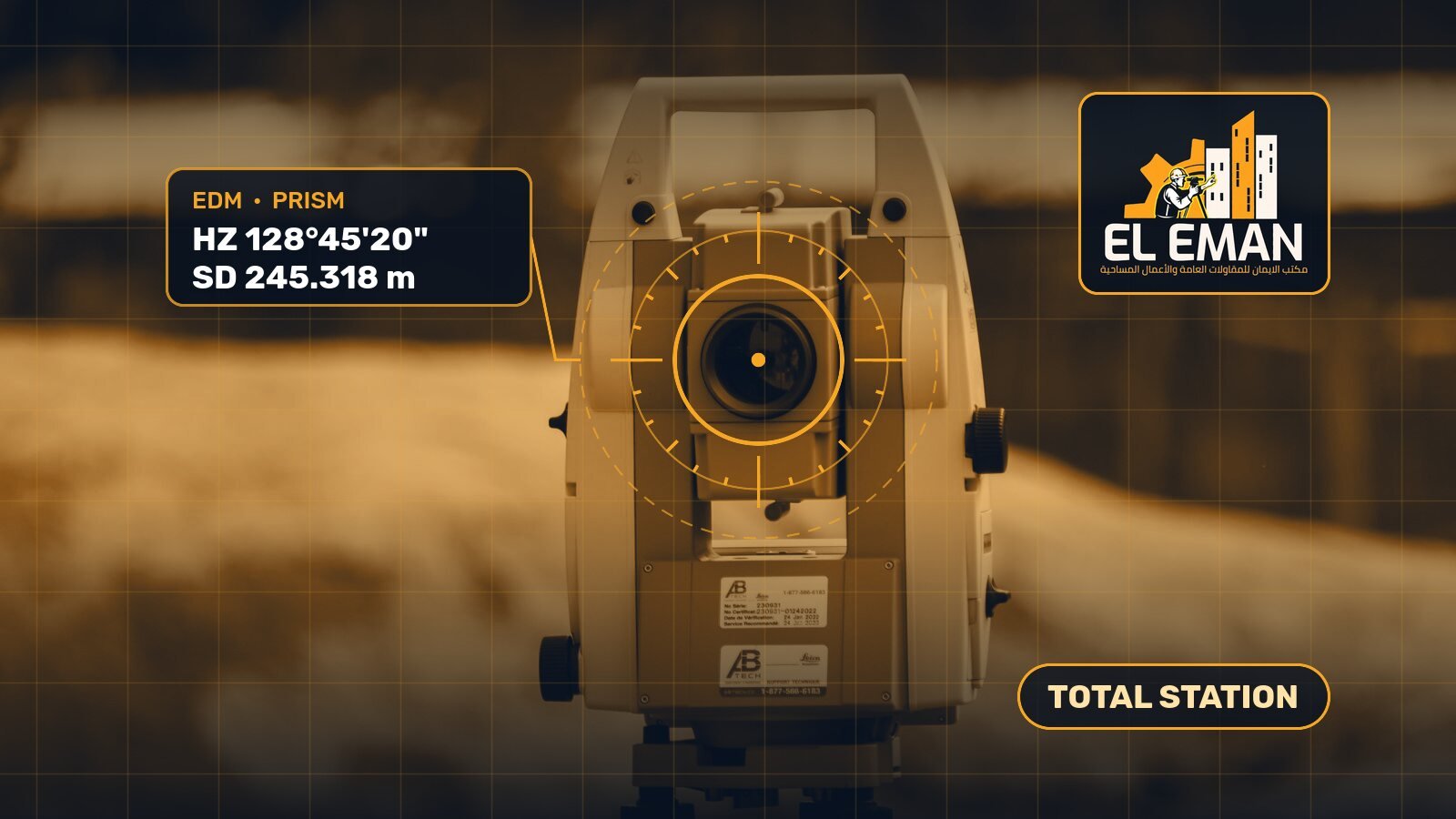
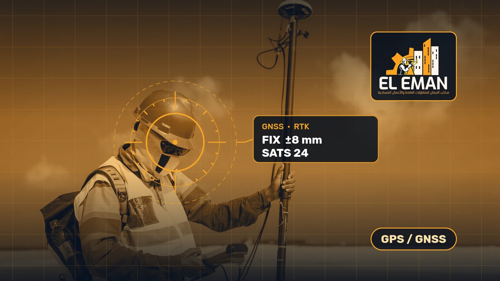
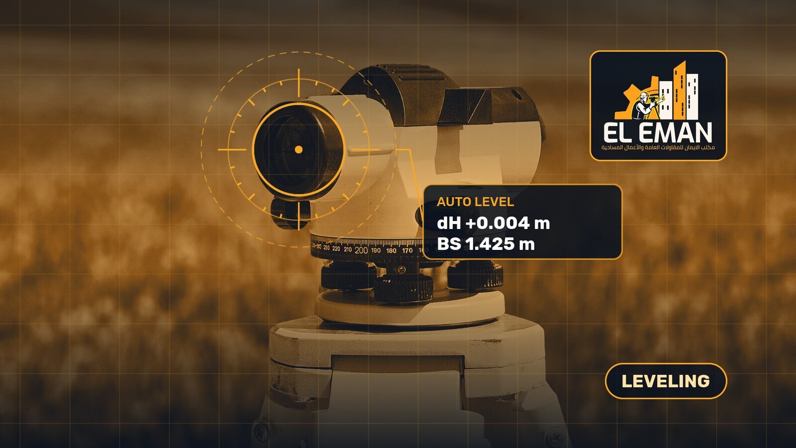
Technology choice depends on the task and site conditions. A total station suits layout, control traverses, and as-built surveys where line-of-sight is available. Robotic total stations add efficiency for one-person crews and repetitive monitoring tasks. GNSS receivers with RTK correction provide centimetre-level positioning in open areas and are the preferred choice for large-site topographic surveys, boundary demarcation, and route alignment. Automatic and digital levels remain essential for precise levelling runs, foundation checks, and drainage gradient work where vertical accuracy within fractions of a millimetre is required.
Several factors influence which instrument fits a given project. Angular and distance accuracy ratings should match the tolerances stated in the project specification; an instrument rated at five arc-seconds may be adequate for earthworks yet insufficient for structural monitoring. Measurement range matters on large or obstructed sites; EDM range, prism-less capability, and satellite tracking channels all affect productivity. Software compatibility is equally important: the instrument field software and export formats must integrate with the office processing chain, whether AutoCAD, Civil 3D, or a GIS platform.
Budget planning should weigh the total cost of ownership, not just the purchase price. A used instrument in verified condition can deliver the same accuracy at a lower initial outlay, provided it has been recently calibrated and its mechanical and optical components inspected. New instruments carry a manufacturer warranty and the latest firmware, which may include enhanced tilt compensation, imaging, and cloud connectivity features. In either case, factor in ongoing costs for calibration, batteries, software licences, and carrying cases.
Calibration and certification underpin every measurement. Instruments should be calibrated on a schedule recommended by the manufacturer or required by the client quality system, typically every six to twelve months or after a significant impact. A current calibration certificate gives confidence in reported coordinates and protects the surveyor professional liability. Our workshop handles both routine checks and full factory-level calibration for major brands.
Accessories and software packages extend an instrument usefulness. Prisms, poles, bipods, tribrachs, batteries, chargers, and data cables should be genuine or manufacturer-approved to preserve accuracy and safety. Field software licences, coordinate system libraries, and post-processing subscriptions are available individually or bundled with an instrument purchase.
Maintenance and after-sale support keep equipment productive over its working life. Dust, moisture, and mechanical wear are unavoidable on construction sites. Regular cleaning, safe storage, firmware updates, and prompt repair of faults prevent costly downtime. We provide technical support, spare parts sourcing, and repair coordination with authorised service centres across Egypt and the region.
- Total stations from leading manufacturers including Topcon, Sokkia, Leica, and South in manual and robotic configurations for layout, traversing, and monitoring tasks
- GNSS receivers and RTK systems for centimetre-accurate positioning suitable for topographic surveys, boundary establishment, route alignment, and machine control applications
- Automatic and digital levels for precise height transfer, foundation checking, drainage gradient verification, and levelling network adjustment
- Laser distance meters, rotating lasers, and pipe lasers for interior fit-out, grading, and utility installation work
- Accessories including prisms, reflector poles, bipods, tribrachs, batteries, chargers, data cables, and heavy-duty carrying cases from original equipment suppliers
- Trade-in and exchange programme allowing valuation of older instruments against an upgrade to reduce initial outlay on newer technology
- Calibration and inspection services performed to manufacturer standards with certificates issued for project quality records and professional compliance
- Hands-on training sessions for new equipment owners covering instrument setup, field measurement workflows, data export, and basic troubleshooting
- Software licensing assistance for field data collection, coordinate transformation, post-processing, and CAD integration packages
- After-sale technical support including firmware updates, remote troubleshooting guidance, and coordination with authorised repair centres
- Spare parts sourcing for discontinued and current models helping extend the productive life of existing equipment
- On-site consultation to assess project requirements and recommend the most cost-effective instrument and accessory combination for the scope of work