Working hours

Saturday - Thursday: 8 AM - 5 PM

Call us

+20 10 93595365

Home Services Surveying Works

Surveying Office in Alexandria for Land Surveying

EL EMAN provides land and engineering surveying for projects in Alexandria and across Egypt, from recording existing conditions and levels to setting out points and delivering agreed files. Each scope is defined around the site, drawings, references, and project requirements.
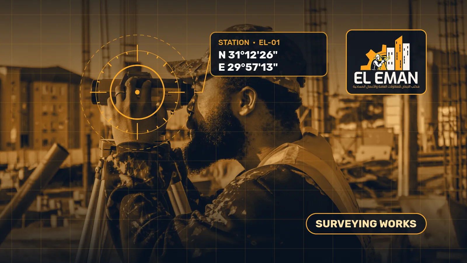
Land and sea surveying Total Station and GPS devices Certified reports and charts
Surveyor taking level readings on a construction site

Surveying specializations

All surveying work that we provide is

. We cover all specializations in land and marine surveying services, and we deliver accurate reports and plans that meet the requirements of contracting and official engineering bodies.

01

General surveying works

Implementing lifting and comprehensive surveying works using appropriate methods and tools to achieve the highest degree of accuracy in site data and determining coordinates.

Request
02

engineering surveying service

Providing engineering surveying work related to construction projects and supporting the design and implementation stages with the necessary field data and information to ensure accuracy of implementation.

Request the
03

service Land surveying

Implementing comprehensive surveying of lands and sites to determine coordinates, boundaries and areas, and preparing accurate cadastral plans and reports for official and engineering purposes.

Request
04

Quantity Surveying and Measurement Service

Providing quantity surveying and accurate measurement services for construction works for the purposes of contracting, receipt, delivery and engineering claims, with the preparation of the necessary technical reports.

Request a service
05

Mapping and Charts

Prepare cadastral maps and detailed engineering drawings based on field lifting data, and use them in planning, design, and official procedures.

Request
06

field reports and data service

Preparing comprehensive and accurate survey reports that include field data and engineering information necessary for all stages of the project, and delivering them in the required formats.

Request

service Distinctive specialty

Marine surveying work

We have field experience in marine surveying, measuring water depths, and drawing marine plans using ECHO SOUNDER devices, in ports, jetties, and coastal projects.

Bathymetry

Increase water depths around sites and piers with high-precision ECHO SOUNDER devices.

Port Works

Surveying and works of marine wharves and marine construction sites in ports and coastal projects.

Data Processing

processes marine lifting data and provides deliverable charts and results to engineers.

DELIVERABLES

What you receive after the survey

We agree the deliverables in writing before the site visit, so you know exactly what you will receive.

CAD drawingsDWG and DXF files ready for design and permits.
Point tablesCoordinates and levels of every point in Excel or CSV.
Contours and terrain modelContours and a digital terrain model where levels design is needed.
AreasIn square metres, feddan and qirat, with side lengths.
Technical reportInstruments, control points, coordinate reference and accuracy.
PDF printsSheets at a suitable scale for review and submission.

All outputs state their coordinate reference: Egypt UTM (35N / 36N) or KSA-GRF17 in Saudi Arabia.

Request a quote

Do you need surveying work? Get a

Quote Contact us today and describe the project location and type of service required, and we will respond to you as soon as possible with a detailed quote.

Clear answers before work begins

Surveying FAQs

Understand survey inputs and deliverables before fieldwork starts.

What should be defined before a survey?
Define the purpose, site limits, coordinate system, level datum, units, approved drawings, and required accuracy. Also state excluded areas and requested delivery formats so observation density and outputs match the intended use.
Which road-survey deliverables can be agreed?
Depending on scope, outputs may include road alignment, chainage, levels, longitudinal and cross-sections, point schedules, or CAD files. Define the reference surface, design revision, and quantity method and limits before comparison or handover.
Does a survey establish land ownership or approve a design?
A survey records measurements and visible features within a defined scope and reference. It does not determine legal ownership or replace design approval by the responsible engineer or authority; those matters require their applicable documents and procedures.

Service scope

How are scope and deliverables defined?

Survey work starts by identifying the measurement purpose, site limits, and the project stage that will use the data, whether initial design, construction, or handover. Agree on the coordinate system, level datum, units, and reference drawings before going to the field, then check available control before survey or setting-out begins. Record point coordinates, descriptions, source reference, and date; review ties and closure before relying on the control for project work.

El-Eman Office provides all types of surveying services in Alexandria and across Egyptian governorates using the latest surveying instruments including total stations, GNSS receivers, and high-precision digital levels. The office has been delivering since 2021, with 11+ projects completed across residential, commercial, and industrial projects as well as infrastructure, road, bridge, and special structure projects.

Depending on the project, scope may include comprehensive topographic survey of the ground surface and visible features, setting out axes, points and levels from approved drawings to the physical site, road chainage with longitudinal and cross-section profiles tied to the alignment and approved design, documenting visible utility features such as manhole covers, inspection chambers, and electrical cabinets, or preparing as-built survey data to record the actual condition of the structure after construction.

For road and infrastructure projects, coordinate profiles and cross-sections with alignment, stationing, reference surface, and design revision. Agree on the earthwork quantity calculation method, limits, and assumptions before comparing the natural surface with the design level. Approved calculation methods such as the end-area method, grid method, and triangulated surface method are selected based on the project type and accuracy requirements.

For bridge and special structure projects, document survey control, axes, levels, and observation stage while keeping measured field values clearly separated from approved design values. This includes structural deformation monitoring through periodic observation of fixed points on the structural frame to detect any horizontal or vertical movement.

The office also provides marine surveying services using echo sounders and marine positioning equipment for port, quay, and coastal structure projects as well as dredging operations and seabed mapping.

Method and observation density depend on terrain characteristics, field obstructions, and the accuracy required for the project. Observation alone is not design approval, legal proof of ownership, or structural acceptance. Review closure, reference, and approved revision, and record assumptions and areas excluded from the fieldwork.

Agreed deliverables may include a survey plan or CAD file in the required format, a point and level schedule, longitudinal and cross-section profiles, and a concise technical report covering methodology, results, and recommendations. For office files, identify units, coordinate system, datum used, and drawing revision; preserve raw data and revision records as a future reference. Confirm formats, scale, reference, and due date before fieldwork starts.
  • Topographic survey of ground levels and visible features within agreed site limits using total station and GNSS
  • Set out building axes, column points, and construction levels from approved drawings to the physical site
  • Road survey including alignment staking, chainage, longitudinal profiles, and cross-sections tied to the design
  • Document method, limits, and assumptions for cut-and-fill earthwork quantity calculations
  • Control, setting-out, and level work for bridges, special structures, and deformation monitoring
  • Marine surveying for ports, quays, coastal structures, dredging, and seabed mapping
  • As-built survey documenting the actual condition and coordinates of the completed structure
  • Review closure, units, datum, drawing revision, and maintain change records for quality assurance
  • Deliver CAD files, point schedules, section profiles, and technical reports in agreed formats
  • Delivering since 2021, with 11+ projects across residential, commercial, industrial, and infrastructure projects

Useful guides

Read more about this service

All articles
