How Technology Has Transformed Surveying
The surveying profession has undergone a dramatic transformation over the past few decades. Measurement tools have evolved from steel tapes and optical theodolites to electronic instruments that rely on laser technology, satellite navigation, and three-dimensional scanning. These advances have not only improved measurement accuracy but have also changed the way projects are planned, executed, and monitored.
The Total Station: Surveying's Workhorse
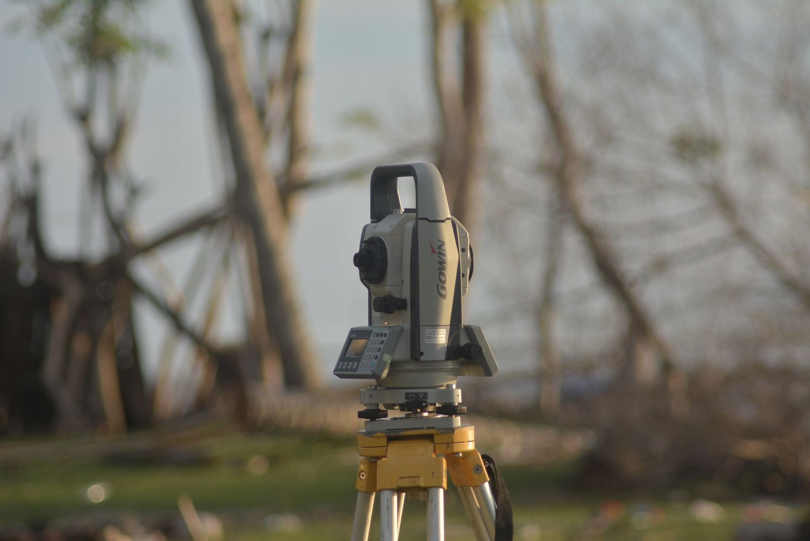
The total station remains the most widely used instrument in engineering surveying. It combines angle and distance measurement in a single unit, delivering accuracy down to a few arc-seconds for angles and millimetres for distances. Modern robotic total stations feature automatic target tracking, enabling a single surveyor to perform tasks that previously required a full crew. You can explore the range of surveying instruments available at El-Eman Office to find the right fit for your project.
GNSS Satellite Navigation Systems
GNSS technology revolutionised surveying by providing accurate coordinates without requiring line of sight between measurement points. These systems receive signals from multiple satellite constellations, including GPS, GLONASS, Galileo, and BeiDou. In RTK mode, centimetre-level accuracy is achievable in real time, making GNSS ideal for large open sites and infrastructure corridors where total-station setups would be impractical.
3D Laser Scanning
Laser scanning, or LiDAR, captures millions of points per second to create a dense three-dimensional point cloud that represents reality with remarkable fidelity. This technology is used for documenting heritage buildings, generating BIM models of existing structures, and monitoring structural deformations. El-Eman's surveying services include advanced scanning solutions tailored to each project's needs.
Drones in Surveying
Unmanned aerial vehicles have become an essential tool on large projects. They are used for aerial photography, orthophoto map production, and digital terrain modelling. A drone can cover vast areas in a fraction of the time that ground-based observation requires, with accuracy acceptable for many engineering applications. Drones are also valuable for monitoring construction progress, computing stockpile volumes, and inspecting structures that are difficult to access on foot.
Modern Surveying Applications in Egypt
These technologies serve a wide range of projects in Egypt, from major infrastructure works such as roads, bridges, and tunnels, to large-scale urban developments in the New Administrative Capital and satellite cities, to land reclamation and irrigation schemes. Specialised fields such as marine surveying for port and coastal facilities also benefit from these technological advances.
Choosing the Right Technology for Your Project
No single technology fits every project. The best choice depends on the project type, site area, required accuracy, and available budget. Reading about how to choose the best surveying office can help you match the technology to your needs.