What Is 3D Laser Scanning
Three-dimensional laser scanning, also called terrestrial LiDAR or high-definition surveying, captures millions of three-dimensional points per second to build an accurate digital replica of a site, structure, or piece of infrastructure. The scanner emits laser pulses in a rapidly rotating pattern, measures the distance to every surface the beam strikes, and records each return as a point with coordinates and often a colour value. The result is a point cloud — a dense, three-dimensional model of everything the scanner could see from its position.
When 3D Scanning Is the Right Choice
Not every survey benefits from laser scanning. The technology earns its place in several specific situations. Complex industrial facilities with layered pipe racks, equipment, and structural steel that are impractical to survey point by point with a total station. Heritage buildings and monuments where a detailed record of every moulding, carving, and surface undulation is needed without physical contact. Renovation and expansion projects where the existing condition must be captured completely so that new designs fit precisely. If you need advanced surveying services that include the latest scanning technology, El-Eman Office can advise on the best approach.
How Scanning Compares with Traditional Surveying
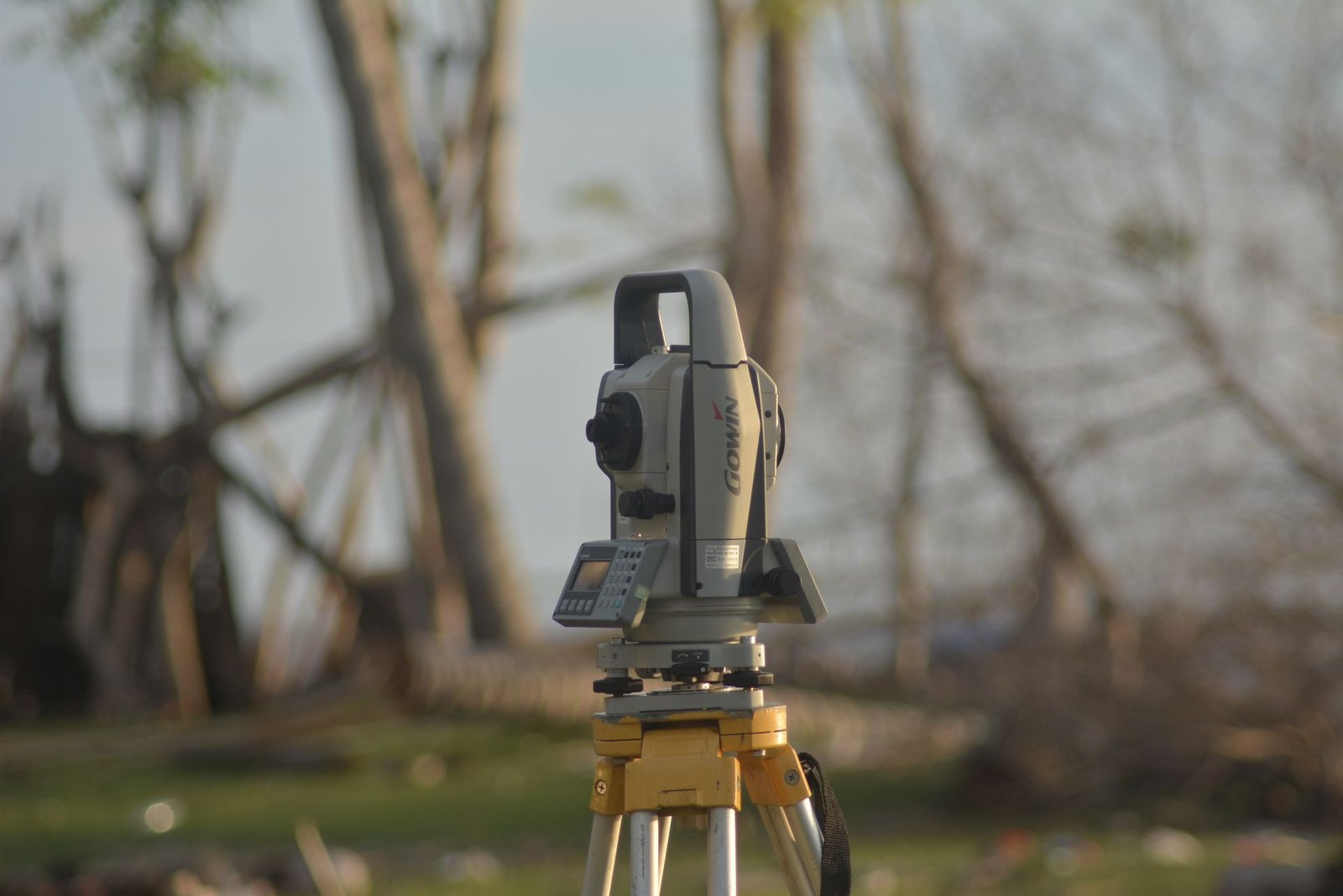
A total station survey captures dozens or hundreds of discrete points chosen by the surveyor, with gaps between them filled by assumption. A scanner captures everything within its range at a density that can exceed one hundred thousand points per square metre. This means no detail is missed, regardless of whether the surveyor anticipated its importance. The tradeoff is data volume: a single scan position can produce hundreds of millions of points, demanding powerful computers and specialised processing software. Traditional surveying remains faster and cheaper for simple open sites such as vacant land or road corridors where feature density is low.
Cost Considerations
Scanning costs more than conventional surveying per day because of the high capital cost of the scanner, the expensive processing software, and the time required to register, clean, and model the data in the office. However, for complex projects, scanning can be more economical overall because it reduces return visits — the full site is captured on the first visit, and additional measurements can be extracted from the point cloud at any time. The scanner also captures conditions that a traditional surveyor might overlook, avoiding costly surprises later. For details on surveying equipment available for purchase, El-Eman Office stocks a range of modern instruments.
Deliverables from a 3D Scan
Depending on the project's needs, a scanning survey can produce a coloured point cloud navigable in 3D viewers, a triangulated surface model, cross sections at any interval, traditional 2D plan drawings extracted from the model, and BIM-ready models for integration into Revit or ArchiCAD workflows. The technology is also valuable for marine surveying applications such as documenting coastal structures and port facilities.
How to Decide Between Traditional and Laser Surveying
The decision depends on site complexity, the level of detail the design team needs, the available budget, and the project timeline. For simple open sites and vacant plots, traditional surveying is faster and more cost effective. For existing structures, industrial plants, and heritage documentation, 3D scanning is the superior choice. Contact El-Eman Office for a site-specific recommendation based on your project requirements.