Introduction: Two Instruments, Complementary Strengths
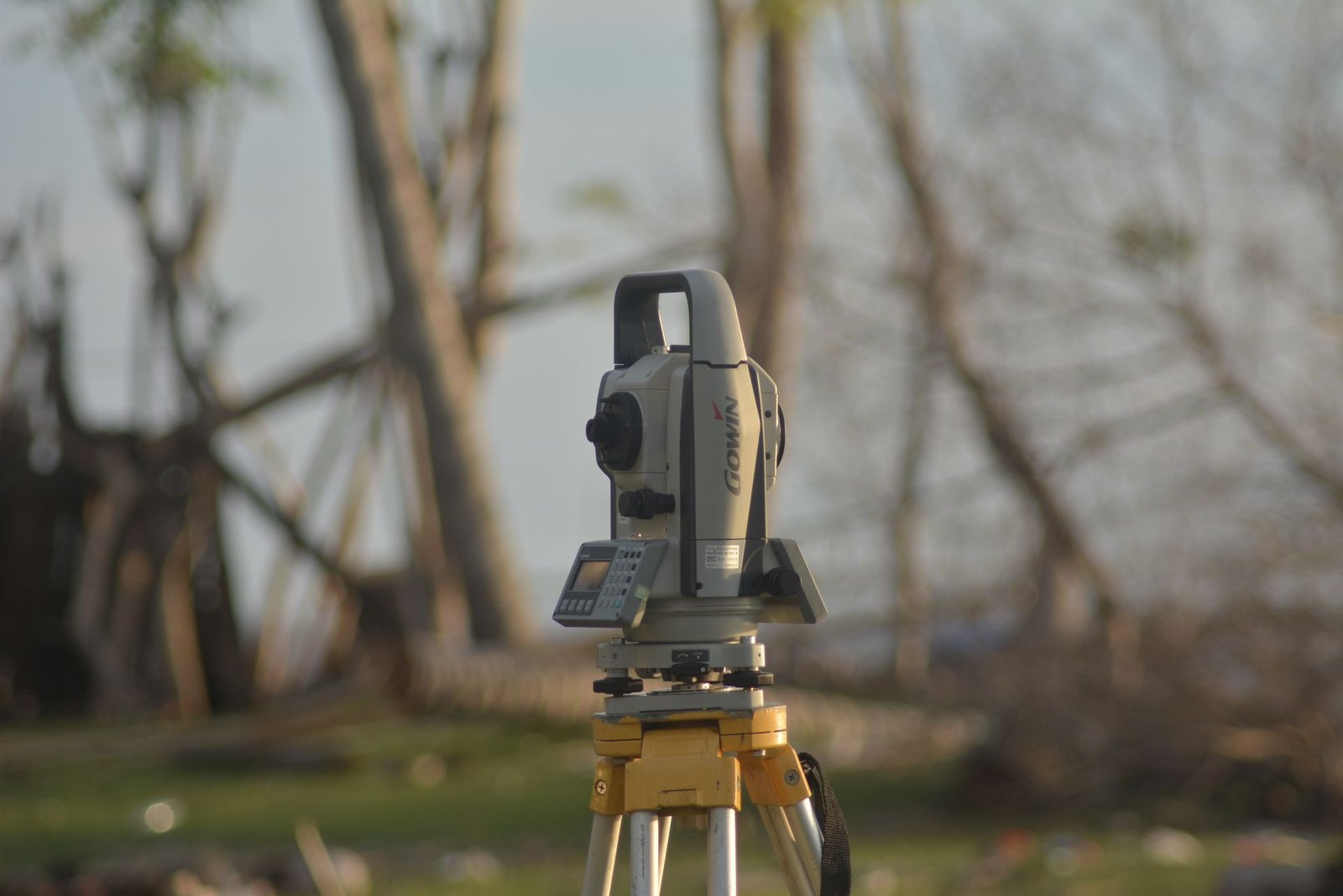
The total station and GNSS receiver are the two pillars of modern surveying. Each excels in different scenarios, and understanding their strengths helps you choose the right tool for every project phase. El-Eman Office deploys both technologies through our comprehensive surveying services, with teams trained on each platform.
When to Choose a Total Station
A total station is the better choice in several common situations. First, in dense urban environments where tall buildings block satellite signals and cause multipath interference. Second, for tasks requiring sub-5-millimeter accuracy such as setting out building grids, monitoring structural deformation, and industrial alignment. Third, inside buildings, tunnels, and enclosed structures where GNSS signals cannot reach.
The total station also excels in detailed surveys that require capturing many points within a relatively small area, such as facade surveys and architectural documentation. Its angle and distance accuracy remain constant regardless of time of day, weather, or solar activity.
When to Choose GNSS
GNSS receivers shine on open sites with a clear view of the sky. Road and highway projects, large-scale topographic surveys, agricultural land parcels, and infrastructure corridors all benefit from the speed of GNSS. There is no need to establish intervisible control points; every measured point receives absolute coordinates directly from satellites.
Using RTK (Real-Time Kinematic) mode, GNSS delivers 1 to 2 centimeter horizontal accuracy and 2 to 3 centimeter vertical accuracy. This is sufficient for most topographic mapping, site layout, and volumetric measurement tasks. GNSS is also ideal for tying project control to the national geodetic network.
Technical Comparison
In terms of accuracy, the total station clearly wins for short-range relative measurements, achieving 1 to 3 millimeters. GNSS in RTK mode achieves 10 to 20 millimeters, which is adequate for most applications but unsuitable for precision monitoring work.
In terms of productivity, GNSS dominates on large open sites where a single operator can survey hundreds of points per day. A total station typically requires two people (unless robotic) but is faster in confined areas with many nearby features. To understand how technology choice affects surveying costs, review our pricing guide.
Combining Both Technologies
On many modern projects, the optimal approach is to combine both technologies. GNSS establishes the primary control network with absolute coordinates tied to the national datum, then the total station handles detail surveying, setting-out, and monitoring from those control points.
This hybrid workflow captures the absolute positioning strength of GNSS and the high relative accuracy of the total station. Some modern instruments integrate both technologies in a single unit that switches automatically between satellite and optical measurement depending on signal availability. These hybrid instruments are especially valuable on sites that transition between open and obstructed areas.
Practical Decision Criteria
When choosing the right technology for your project, start with the accuracy requirement. If you need better than 5 millimeters, the total station is the safe choice. If the site is open and 2-centimeter accuracy is sufficient, GNSS RTK will be faster and more efficient.
Consider crew size as well. If you have a single-person field crew, a robotic total station or a GNSS rover lets one operator work independently. Budget also matters: GNSS base-rover systems and robotic total stations represent significant investments. Browse our equipment sales catalog for new and pre-owned options, or read our FAQ about working with a surveying office to learn how El-Eman Office can advise on the best fit for your workflow.