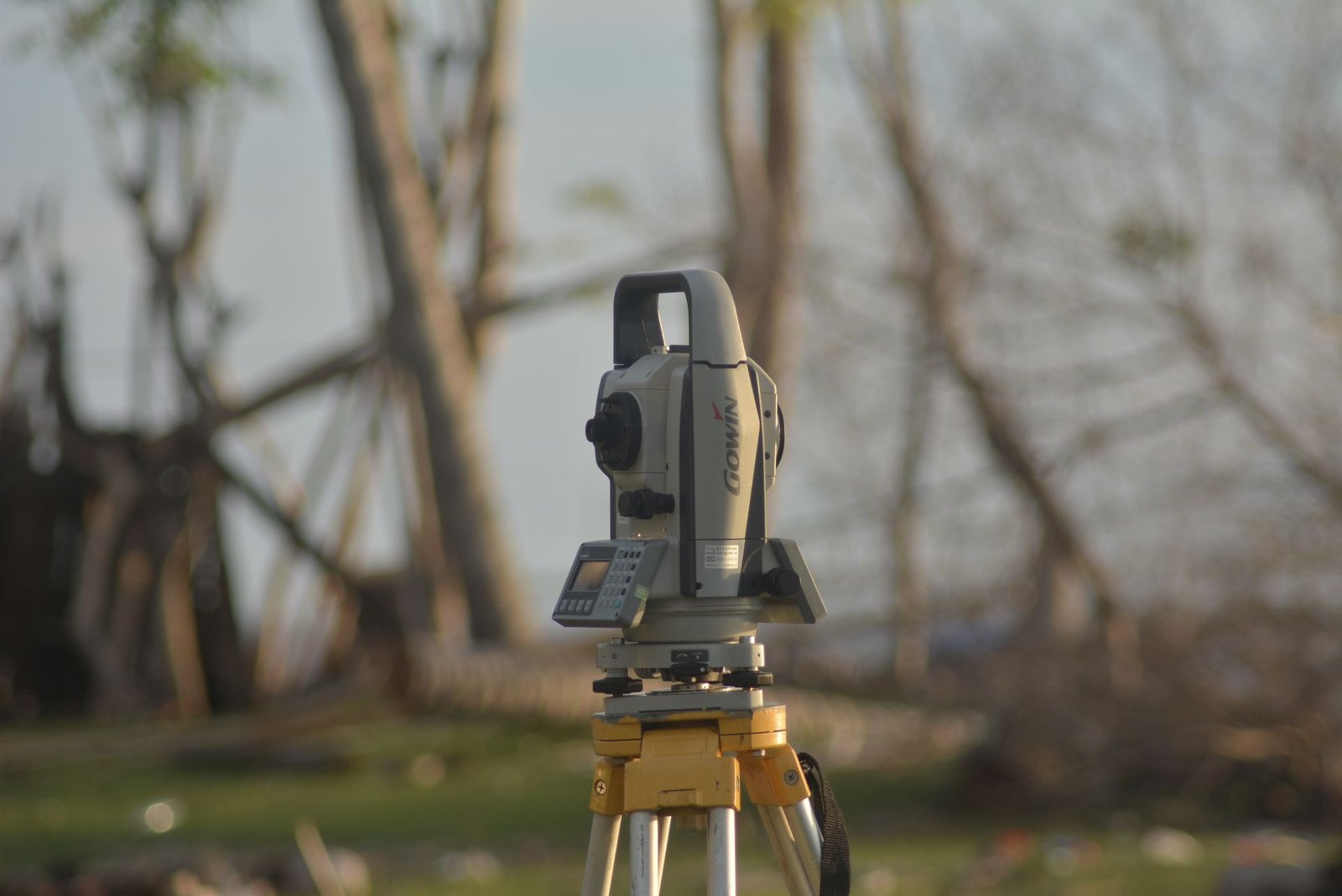
Why Prism Height Matters in Total Station Surveys
Every measurement a total station takes to a prism produces three-dimensional coordinates: easting, northing, and elevation. The instrument calculates elevation by combining the measured slope distance and vertical angle with two height values — the instrument height above the station and the prism height above the target point. If the prism height entered into the instrument does not match the actual prism height in the field, every elevation value in the survey will be wrong by exactly that difference. Getting this seemingly simple number right is therefore critical to every project that depends on accurate levels.
How Prism Height Is Defined and Measured
Prism height is the vertical distance from the ground mark or target point to the optical centre of the prism. On a standard prism pole, the manufacturer etches a line or stamp at the height of the prism centre; the surveyor reads the height from the base of the pole to that mark. On a tribrach-mounted prism over a tripod, the height is measured with a steel tape from the ground mark to the centre of the prism. For surveying equipment purchased through El-Eman Office, technical documentation always specifies the measurement point for prism height so there is no ambiguity.
Understanding the Prism Constant
Each prism model has a prism constant — the offset between its geometric centre and the effective reflection point of the EDM signal. Leica standard prisms have a constant of negative 34.4 millimetres, Topcon standard prisms have zero, and Sokkia standard prisms are typically negative 30 millimetres. The total station must be set to the correct constant for the prism in use; otherwise, every distance will be off by that amount. When mixing prisms from different manufacturers on the same job, the surveyor must update the constant each time the prism changes — a step that is easy to forget under field pressure.
Special Situations That Affect Prism Height
On sloped surfaces, the prism pole must be held vertically, not perpendicular to the slope. A two-metre pole tilted five degrees introduces about eight millimetres of height error. Pole-mounted bubble levels help, but they need checking — a bubble that is out of adjustment gives a false sense of security. When the prism is on a mini-pole clamped to a wall or structure edge, the height is measured from the point of interest to the prism centre along the vertical, not along the pole axis. In road-work and earthworks, fixed-height prism poles eliminate the measurement step altogether, since the height is factory-set and locked, reducing one source of human error. El-Eman Office provides professional surveying services with trained crews who handle these details correctly on every job.
Practical Tips for Getting Prism Height Right
Start each session by confirming the prism constant and pole height in the instrument settings before taking any shots. Record the height in the field book every time it changes, and read it back to the instrument operator for confirmation. Sight a known benchmark at the beginning and end of each session as a level check — if the returned elevation is off, the most likely cause is a prism height error. To learn more about what professional surveys cost and what factors affect pricing, read the guide to surveying costs in Egypt. For assistance with any surveying project, contact us for a free consultation.