
Disputed Land
Expert surveying for land disputes. El-Eman Office provides court-grade survey reports.
Fixing boundaries on the ground and in the documents
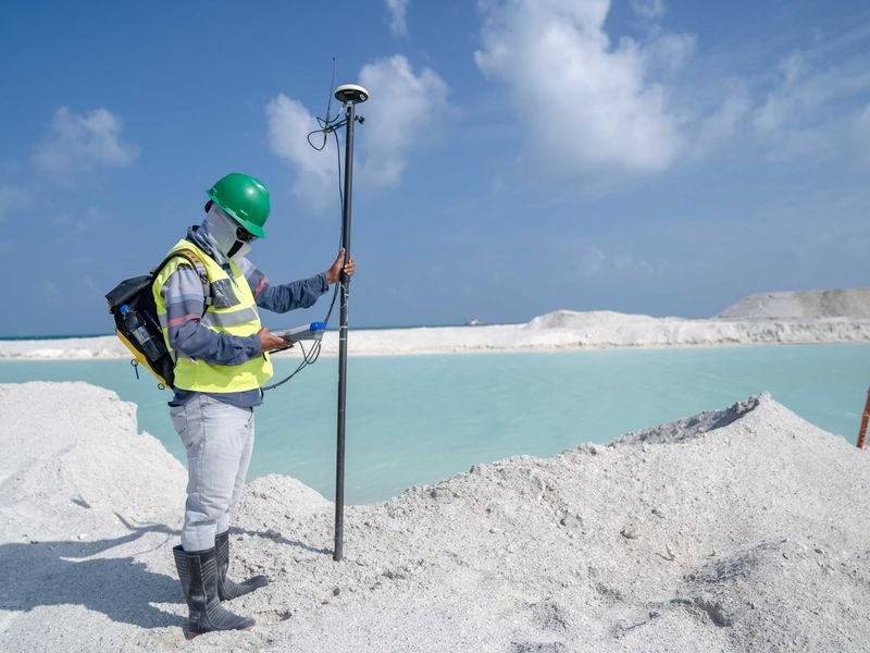
An expert's work in disputed land surveying combines what is on the ground with what is on paper. The expert starts by studying contracts, old cadastral maps and historical aerial photographs, then goes to the site to measure the land and identify fixed features, such as roads, drains and old buildings, that can be relied on to reconstruct the boundaries.
- Dimensions given in the contract are compared with those actually measured.
- Points of agreement and disagreement between the parties and the documents are identified.
- Every field observation is recorded with photos and coordinates.
- The area is recalculated using recognised measurement methods.
Preparing the technical report
The report is the main tool that the judge or regulatory body relies on, so it must be clear and impartial and include:
- The task as precisely defined by the commissioning authority.
- The documents the expert examined and the date of each.
- The measurement method, the instruments used and the coordinate system.
- The survey results as tables, figures and plans.
- The technical conclusion, without giving a legal opinion outside the expert's field.
The expert makes sure the parties attend or are notified of the inspection date as procedure requires, and records their statements and objections. This protects the report from later challenge.
Common mistakes that weaken a party's position
- Relying on a sketch not tied to any fixed points or coordinates.
- Confusing the area stated in the contract with the actual area without explaining the difference.
- Overlooking changes to the site over time, such as a new road or a diverted drain.
- Measuring with uncalibrated instruments or without documenting accuracy.
- Ignoring the archives of official bodies, which may hold detailed maps of the area.
In many cases an accurate, well-documented survey report leads to a friendly settlement before long court proceedings, because the parties are presented with an objective picture of the land.
Frequently asked questions
Is measuring with phone apps enough in disputes?
No. Their accuracy is limited and they are usually not accepted as technical evidence. What is needed is measurement with calibrated survey instruments and a report stating the accuracy and the method.
What should I do before calling the expert?
Gather contracts, maps, any earlier boundary statements and old photographs of the land, and identify the known landmarks on site. These speed up the study and improve the results.
Can boundaries be set out again after a ruling?
Yes. Field setting out is carried out with clear markers according to the ruling or the approved report, and recorded in a minute in the presence of the parties or the executing authority.


