
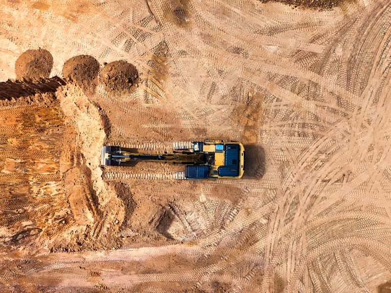
Calculating cut and fill means comparing two surfaces: the existing ground as surveyed, and the design (or as-built) surface, then computing the volume removed (cut) and added (fill) between them. The three common methods are a regular grid, cross-sections and TIN surface comparison in software. Accuracy depends more on the survey than on the software, and on rocky ground in Riyadh or the basalt harrat of Madinah you also need to separate rock from soil. This guide covers the data required, each method and when it fits, and how to check the numbers before they are approved.
Looking for the best surveying office in Saudi Arabia? Read our guide to choosing the best surveying office in Saudi Arabia: licence, classification, KSA-GRF17 and deliverables.
Data you need first
- Existing surface: a topographic survey before any work, with enough points and breaklines, tied to stable control.
- Design surface: formation, excavation or pavement levels from approved drawings, on the same datum and height type.
- Calculation boundary: the polygon for the quantities, including side slopes.
- Rock surface if present, from survey when exposed or from borehole data.
- As-built surface for measuring work actually done, part of the survey team's role from control to as-built.
Both surfaces must share the same reference: KSA-GRF17 in the correct UTM zone and the same height source. A small level offset over a large area becomes a large volume. See the KSA-GRF17 and UTM guide.
Method 1: grid
Divide the area into equal squares, find existing and design levels at each corner, and multiply the mean difference by the square area.
- Size the squares to the terrain; smaller squares on rolling ground.
- Compute the difference at each corner with an agreed sign convention.
- Split squares crossed by the zero line so cut and fill do not cancel.
- Total the volumes and compare with a second method.
Best for broad, fairly flat levelling: industrial yards, plot subdivisions and farms.
Method 2: cross-sections
Draw sections perpendicular to a road, channel or pipeline axis at set intervals, compute cut and fill areas in each, then volume between sections as the average area times the distance.
- Suits linear works: roads, channels, pipelines, earth embankments.
- Tighten spacing at curves, terrain changes and wadis.
- Add sections wherever design or material changes.
- Easy for contractor and consultant to review together.
Method 3: TIN surface comparison
Software builds triangulated surfaces for existing and design ground and computes the volume between them. It is usually the most accurate on complex sites, but it is sensitive to surface quality: one bad triangle at a scarp can add volume that does not exist.
- Inspect the surface for long slivers and spikes before computing.
- Make sure both surfaces share the agreed boundary.
- Produce a coloured difference map of cut and fill.
- Archive the report with both surfaces so it can be recomputed.
Rocky ground in Riyadh and Madinah
In Riyadh near Tuwaiq and Wadi Hanifah, limestone sits close to the surface; in Madinah, basalt harrat is widespread. A single excavation total is not enough, because rock excavation differs in method, plant and cost.
- Survey the rock surface when exposed and record date and location.
- Compute two layers: ground to rock (soil) and rock to design level (rock).
- Define rock and how it is proven in the contract before work starts.
- Keep in-situ volume separate from haulage volume; bulking and compaction factors are set by engineering judgement for each material.
- On harrat, loose surface boulders may be a separate clearance item.
More on this ground in surveying rocky and sabkha ground.
Checks before approval
- Compute with two methods and explain any difference.
- Test the surface against independent check points.
- Confirm datum and height type in every file.
- Use the same boundary each time.
- Review site balance: can cut be reused as fill?
- Hand over surfaces, reports and raw data, not just a total.
Common mistakes
- Starting excavation before surveying original ground.
- Using an old survey after dumping or floods changed the site.
- Comparing ellipsoidal heights with design levels.
- Ignoring side slopes at the boundary.
- Lumping rock and soil into one item and disputing it later.
Where works depend on permits or official conditions, these change over time, so check Balady or the relevant authority before starting.
FAQ
Which method is most accurate?
TIN comparison is usually most accurate on complex sites with a good survey; cross-sections suit linear works and are easy to audit; grids suit broad levelling. Use two methods.
Can I compute quantities from a drone survey?
Yes on open sites with good ground control, but watch for vegetation, plant and stockpiles in the surface, and get flight permits beforehand.
What if unexpected rock appears?
Pause that area, survey the rock surface and record the date, then compute rock separately as the contract specifies.
How EL EMAN can help
We are preparing to serve projects in Riyadh, Jeddah, the Eastern Province and other cities with surveying, contracting and equipment sales and rental, and are taking requests now via WhatsApp or the contact form.


