
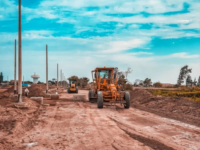
Cairo is Egypt's largest city with massive construction activity. The expansion into new cities like the New Administrative Capital, New Cairo, and El Shorouk increases the need for specialized surveying offices.
Services include land surveying, topographic surveys, setting out axes and levels, and cut-and-fill quantity calculations. Cairo projects face unique challenges: high urban density requiring extreme precision, proximity of buildings requiring impact monitoring, and strict government requirements for permit and settlement documentation.
EL EMAN Office serves all of Greater Cairo — from central Cairo and Maadi to the New Administrative Capital. Contact us for a customized quote.
What makes survey work in Cairo different
Work in the city is shaped by dense buildings and little open space, which affects the choice of land survey method. In crowded areas buildings can block satellite signals, so a total station with carefully transferred control points is preferred. On the outskirts and in the new cities, GNSS is easier thanks to open ground.
- Detailed surveys of streets and existing buildings in older districts.
- Tying the project to official control points so coordinates are reliable.
- Accounting for visible and hidden utilities before any excavation.
How to prepare your request for a survey office
Before getting in touch, prepare the details that speed up pricing and execution: the land location, its approximate area, the purpose of the survey, and any documents you have such as the ownership deed or a sketch. State which body will receive the output, since each has its own requirements for drawing format.
- State the purpose: permit, sale, subdivision, dispute or design.
- Ask for the deliverables to be specified: AutoCAD drawings, a report, or coordinates for setting out.
- Agree on site access and removal of obstacles.
- Ask about delivery time and how review works.
Linking survey and contracting
The biggest benefit comes when survey results feed directly into design and construction, such as calculating excavation and fill quantities, setting out the building axes and checking levels during concrete pours. This reduces errors caused by having several parties involved, and an office can combine both services when needed.
Field challenges in crowded areas
Working between existing buildings needs extra arrangements: coordinating site access and timing to avoid traffic and noise, protecting instruments from heavy movement, and politely explaining the work to residents of neighbouring buildings. In tightly packed districts some corners may be hard to reach because of adjoining construction, so the surveyor uses indirect measurements and intersection calculations to reach the required points.
- Using small reflectors and fixed targets over short distances.
- Repeating measurements on important points to confirm they agree.
- Photographing surrounding features to ease office checking.
Advance contact with the owner or the building caretaker helps with access, and the survey team should be told of any sensitivity at the location, such as government facilities or historic buildings that may have rules on photography or construction.
Frequently asked questions
What is the difference between a total station and GPS survey?
A total station suits detailed work and covered areas, while GPS suits open ground and tying points over long distances.
Do I need to be present during the survey?
It is best to have a representative to guide the team to the land boundaries, especially where there is a dispute or neighbours.
How long does it take to prepare the drawings after the survey?
It depends on the size and complexity of the site, and the date is agreed in advance after inspecting the land.


