Every construction project in Egypt begins long before the first concrete pour. Preparing the site properly requires a coordinated effort between the surveyor, the contractor, and the project owner. Skipping or rushing this phase is one of the most common reasons for delays, cost overruns, and disputes later in the project lifecycle.
Why site preparation matters
A well-prepared site gives every subsequent trade a reliable starting point. Earthwork contractors need accurate ground levels. Structural engineers need verified boundaries. MEP teams need utility clearances. When the groundwork data is incomplete, each team improvises, and those improvisations compound into clashes that surface during execution.
In the Egyptian construction market, where multiple sub-contractors often mobilize simultaneously, the cost of poor site preparation is amplified. Rework on a single foundation element can stall an entire floor cycle.
The survey baseline
Before any clearing or grading begins, a professional surveying team should establish the following:
- A network of control points tied to the national geodetic datum
- A topographic survey showing existing ground levels at a grid no wider than 10 meters
- Boundary verification against ownership documents and municipal records
- Location of any underground utilities, wells, or drainage channels
These deliverables form the reference frame for every measurement that follows. Without them, setting-out axes, calculating cut-and-fill volumes, and verifying elevations all become guesswork.
Clearing and access
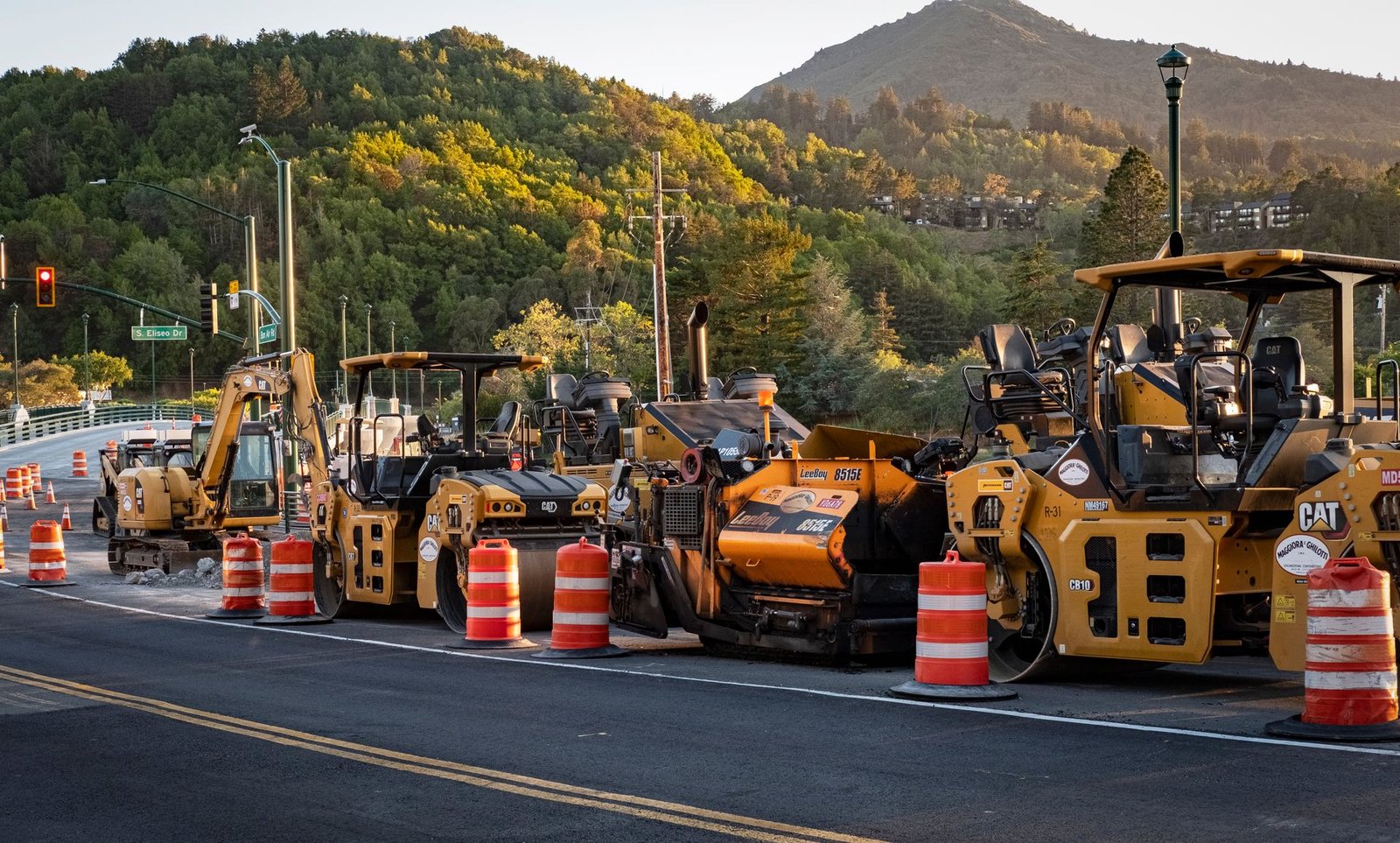
Once survey data is in hand, the physical preparation begins. This typically includes removing vegetation and debris, demolishing any existing structures, and grading temporary access roads for equipment. The contractor should coordinate with the surveyor to mark the limits of disturbance so that work does not encroach on neighboring properties or protected setback zones.
Temporary benchmarks should be established outside the disturbance zone. These are the points the surveyor will return to throughout the project, so they must be protected from accidental damage by heavy machinery.
Soil investigation coordination
If a geotechnical investigation is planned, boreholes and trial pits should be located based on the topographic survey and the proposed building footprint. The surveyor records each borehole position and collar elevation so that the geotechnical report references the same coordinate system as the design drawings.
Permits and regulatory checks
In Egypt, building permits require a licensed survey report confirming the plot boundaries and the proposed building position relative to setback lines. Municipalities in Alexandria, Cairo, and the new cities each have specific submission formats. Preparing these documents early avoids permit delays that can idle an entire mobilized crew.
El-Eman Office handles both the survey fieldwork and the permit documentation, ensuring consistency between what is measured and what is submitted. For a detailed look at how to choose a reliable contracting partner, we have published a separate guide.
Coordination checklist
Before the contractor mobilizes heavy equipment, confirm the following items are complete:
- Plot boundaries surveyed and marked with permanent monuments
- Topographic survey delivered in both CAD and printed format
- Temporary benchmarks established and documented
- Access road graded and capable of supporting delivery trucks
- Utility locations mapped and marked on site
- Geotechnical boreholes positioned and surveyed
- Building permit application submitted with the required survey attachments
Moving from preparation to execution
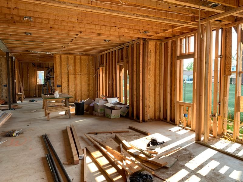
With the site prepared and the survey baseline in place, the project transitions to setting-out. Axes are transferred from the drawings to the ground, and the first structural elements are positioned. This transition is seamless only when the preparation phase was thorough.
If you are planning a new build and need general contracting and site preparation services, reach out to discuss your project scope and timeline.