
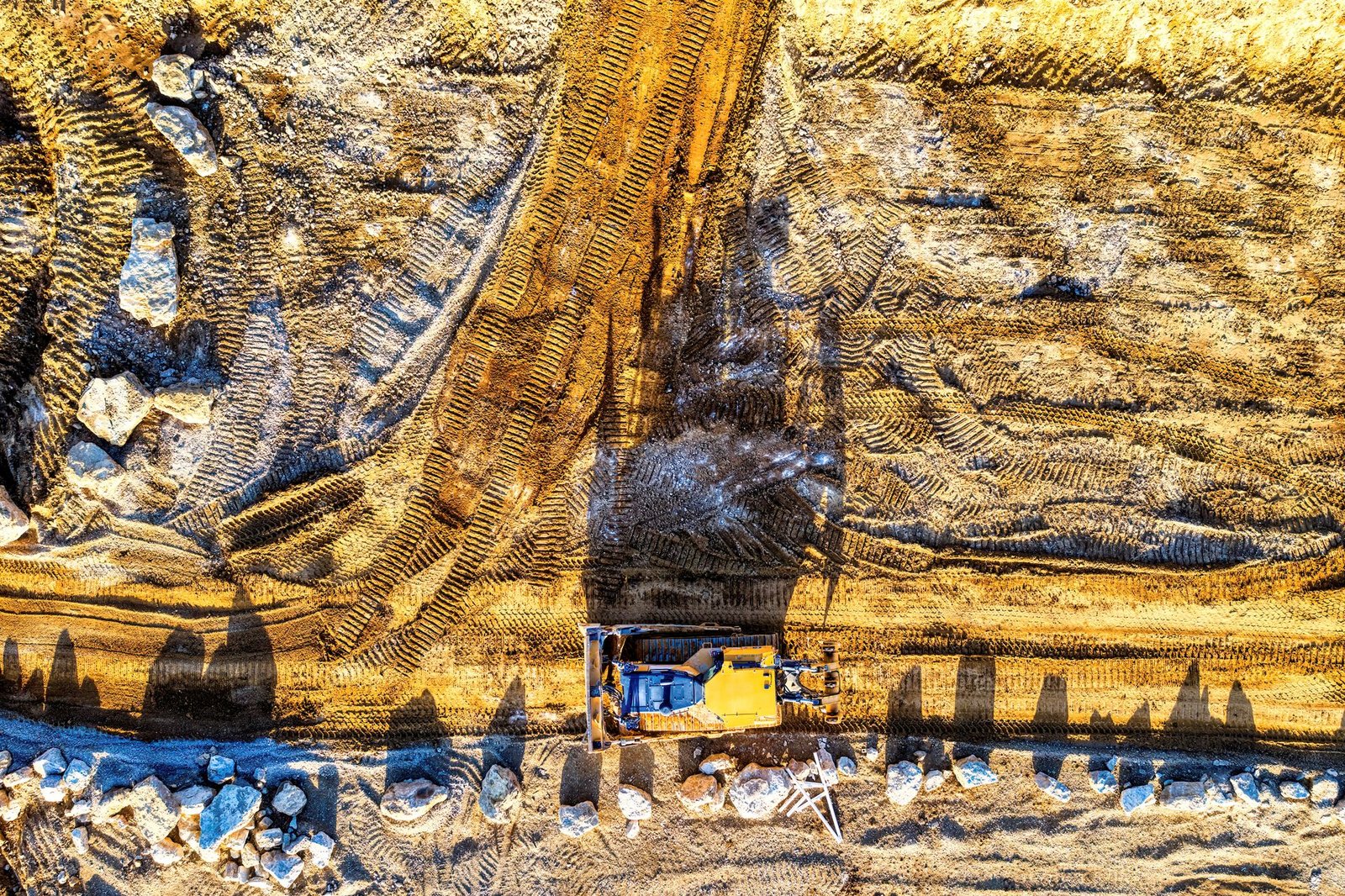
Nature Reserve Surveying
Mapping and documentation for nature reserves. El-Eman Office provides drone and GIS surveying for environmental projects.
Demarcating Boundaries and Protecting the Reserve Legally
The first thing a nature reserve needs is a clear, publicly declared boundary on the ground and on maps. Without accurate demarcation it is hard to confront encroachment or regulate permitted activities. Boundaries are defined from the establishment decrees, then transferred to the ground with accurate coordinates and permanent markers, and recorded in official registers. Large desert or marine reserves need GNSS receivers and aerial imagery to cover the wide areas.
- Set out boundary points with documented coordinates and distinctive markers.
- Define strictly protected zones and limited-use zones.
- Place visitor routes and service centres away from sensitive areas.
- Record any encroachment or boundary change and link it to dates.
Remote Sensing and Change Over Time
Aerial and satellite images help monitor changes in vegetation cover, water bodies and the advance of buildings or sand, by comparing images from different periods. Drones are used to photograph specific areas in higher detail and produce terrain elevation models, provided the necessary permits are obtained, since reserves and some border areas have special rules for flying and photography.
These comparisons over time help detect unauthorised activity, such as random digging or road building, before its effects spread.
GIS and Reserve Management
A GIS database brings together in one place the reserve boundary, the locations of plant and animal species, water, tracks and facilities. Reserve managers can query it and produce maps for research, tourism and environmental monitoring. The database must be updated regularly, and the sources and accuracy of the data documented, so it is not misused.
- Collect the base data: boundaries, terrain and land cover.
- Add the results of field observation of living species' locations.
- Identify ecologically sensitive areas and link them to use restrictions.
- Provide maps to visitors and researchers at a suitable level of detail.
Involving Local Communities and Visitors
The success of reserve protection depends on involving residents of neighbouring areas and managing visits. Maps help define safe tourist routes and service areas away from sensitive habitats, and show restrictions in a simple visual way. Signs tied to coordinates can be used to guide movement and reduce damage.
Frequently asked questions
Can reserves be freely photographed by drone?
No. Permits from the competent authorities are required before operating drones in these areas, because they may be environmentally sensitive or linked to security considerations.
Why do levels matter in reserves?
Because the direction of water flow, flash floods and the distribution of plants depend on the shape of the land, so topographic maps help in understanding the ecosystem and protecting its water sources.
What is the benefit of documenting boundaries with coordinates?
It prevents disputes over the reserve boundary, allows encroachment to be proven accurately, and makes it easier to coordinate with other bodies such as development, tourism and roads when planning nearby.


