
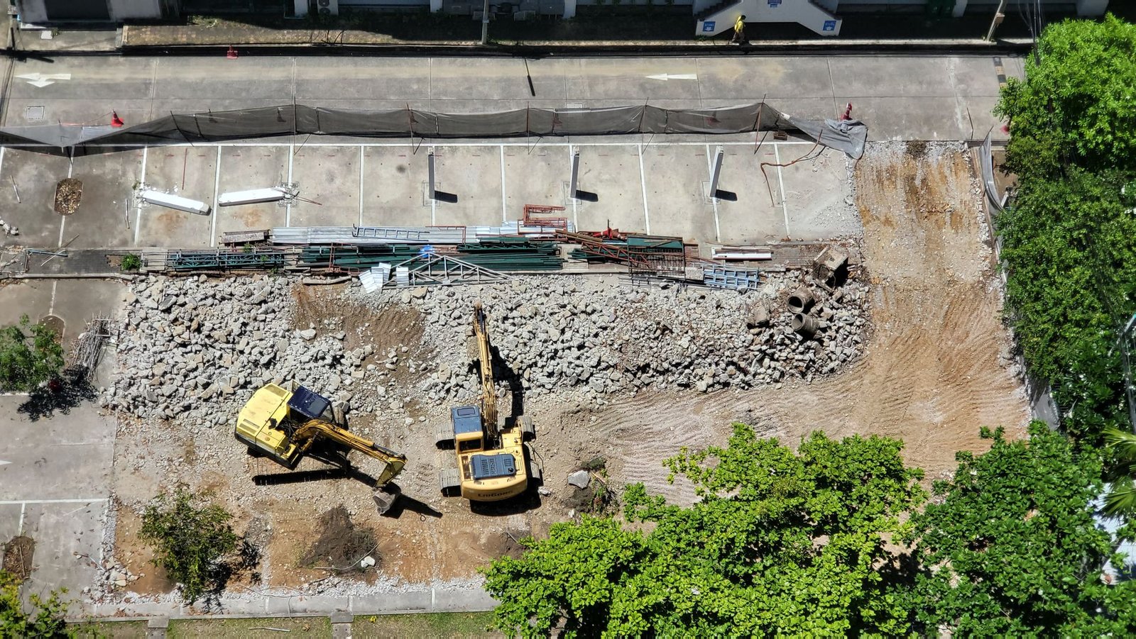
Expropriation Surveying
Independent surveying to verify expropriation areas and protect landowners. El-Eman Office provides independent survey reviews.
From the general map to the schedule of ownerships
Expropriation surveying starts with the approved project plan that defines the route or the area required. This plan is overlaid on the cadastral maps and existing ownerships, and the parcels it falls on, wholly or partly, are identified. For each parcel a schedule is prepared with its total area, the part to be taken and the remainder. Note that after taking, the remainder of some parcels may be too small to use, which needs special handling under the regulations.
Recurring problems in the survey of ownerships
- Ownership boundaries in the documents differ from actual possession on the ground.
- Shared or unregistered ownerships, or among heirs who have not divided the estate.
- Buildings and structures put up without a permit, which need special description.
- Trees, crops, wells and utility rooms inside the area taken.
- Old maps that differ from the modern survey.
These problems are handled by documenting each case, collecting photographs and coordinates, preparing a detailed schedule for each ownership, and reviewing it with the owners or their representatives to reduce later objections.
The owner reviewing their rights
An owner has the right to make sure that what is taken from them matches what they will be compensated for. The review covers using the correct area, checking that buildings, trees and structures are included, and examining how the valuation was calculated. For this reason many people commission an independent survey and present it to the competent authority. The best approach is to keep your documents, ownership papers and the tax, electricity and water receipts that prove how old your structures are, then compare the survey with the official schedule and lodge an objection within the legal deadlines.
- Request a copy of the map and the schedule for your parcel.
- Gather ownership documents and records of buildings, trees and structures.
- Carry out an independent survey and compare the results with the official schedule.
- Submit your objection in writing within the set period, with the survey attached.
Documenting before the project begins
If you learn that your land may fall within a public project, it is wise to document its condition before the procedures begin. Photograph the buildings, trees, wells and structures, keep construction invoices and ownership contracts, and commission a survey showing dimensions and areas. These documents help prove the state of the property on the day of valuation and make it easier to review any difference from the official schedule. They also help discuss compensation with figures rather than impressions. None of this prevents consulting a legal adviser to follow the legal aspects and deadlines.
Frequently asked questions
Does the procedure differ for farmland and buildings?
The valuation and the items counted differ: farmland includes crops and trees, while buildings include the structures and their condition.
What if the remainder of the parcel is small?
The regulations are consulted on whether the remainder that cannot be used can be dealt with, and it is advisable to consult a legal specialist.
Is an independent survey needed if an official schedule exists?
It is not compulsory, but it helps if you doubt the areas or differences appear against your documents.


