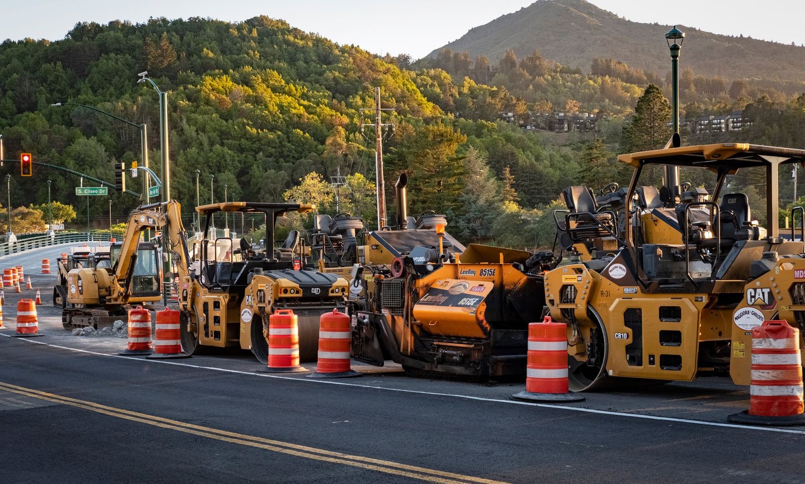
Coordination Challenges on Multi-Party Projects
On large projects involving multiple contractors, consultants, and subcontractors, survey coordination becomes a genuine logistical challenge. Each party may use different instruments, reference systems, and workflows. Without upfront alignment, data conflicts surface during construction when fixing them is most expensive. El-Eman surveying services brings extensive experience in managing survey coordination for multi-stakeholder projects across Egypt.
Establishing a Unified Geodetic Reference
**A single coordinate reference system** is the foundation everything else rests on. The project team must agree early on the horizontal datum, map projection, and vertical datum. Ambiguity here leads to systematic offsets between different parties' work that can reach tens of centimeters. Best practice is to establish a shared control network used by all parties, distributed with a data sheet listing each point's coordinates, elevation, and last verification date.
Data Exchange Protocol
A standard file format for data exchange must be defined before fieldwork begins. DXF is a practical neutral format, supplemented by agreed layer-naming conventions and point coding standards. Every file delivered should carry metadata: survey date, crew identity, instrument used, and the coordinate reference system applied.
**A delivery schedule** sets deadlines for each party to submit their survey data. A delay from one party can block everyone else. The schedule must be realistic and allow for processing and review time after fieldwork. To understand survey cost factors and budget planning, review our comprehensive guide.
The Role of a Survey Coordinator
Appointing a dedicated survey coordinator who oversees all survey activities on the project is an international best practice. Their responsibilities include reviewing each party's survey plan before work starts, checking data consistency when files are combined, resolving measurement conflicts, and producing periodic status reports.
Managing Overlaps and Conflicts
When two parties' data disagree in an overlap zone, a defined procedure must be followed. First confirm that both parties used the same control points. Then request raw observation data from each. Finally, commission an independent check survey by a neutral third party in the disputed area. El-Eman also provides general contracting services integrated with surveying to streamline coordination on large-scale projects.
Regular Coordination Meetings
Weekly or bi-weekly coordination meetings bringing together survey representatives from every party are essential, not optional. These meetings address field problems, resolve data conflicts, and update the delivery schedule. Detailed minutes protect all parties and document every decision made. Contact us to discuss how El-Eman Office can manage survey coordination for your next multi-party project.