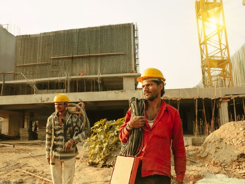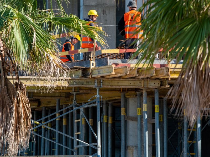
Choosing between GNSS RTK and a total station is one of the most important decisions a surveyor makes before heading to a construction site. Each technology has clear strengths, and using the wrong one in the wrong conditions wastes time, reduces accuracy, or both. Understanding when to reach for each tool is essential for efficient and accurate fieldwork in Egypt.
How GNSS RTK works
A GNSS RTK system consists of a base receiver placed on a known point and a rover receiver carried by the surveyor. The base computes correction signals and transmits them to the rover in real time, allowing the rover to determine its position to within one to two centimetres. The entire process happens in seconds, making RTK extremely fast for open-sky environments.
RTK relies on receiving signals from at least five satellites simultaneously. In Egypt, the GPS and GLONASS constellations together usually provide more than enough coverage in open areas. Adding Galileo and BeiDou signals further improves reliability.
How a total station works
A total station measures angles and distances from a known setup point to a target prism. The surveyor occupies a control point, orients the instrument to a second known point, and then turns to each detail or setting-out point in sequence. Accuracy is typically one to three millimetres for distances under a few hundred metres, making the total station the higher-precision tool for close-range work.
Unlike GNSS, a total station does not need satellite visibility. It works indoors, in tunnels, under tree canopy, and next to tall buildings, anywhere the operator can see the prism.
When to choose GNSS RTK
GNSS RTK is the better choice when:
- The site is open, with a clear view of the sky in all directions
- The area to be surveyed is large, making it impractical to run a long traverse
- The task is topographic mapping where centimetre-level accuracy is sufficient
- Speed matters more than sub-centimetre precision
- The project requires coordinates tied directly to the national geodetic grid
Large-scale earthwork surveys, road corridor mapping, and rural boundary surveys are classic RTK applications. For guidance on selecting RTK equipment, see our page on surveying equipment options.
When to choose a total station
A total station is the better choice when:
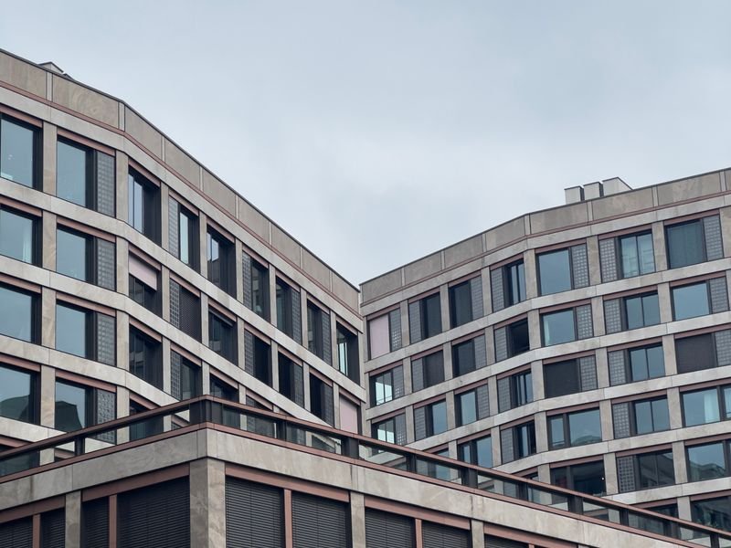
- The site has obstructions that block satellite signals: tall buildings, dense trees, deep excavations
- The required accuracy is below one centimetre, such as structural setting-out or deformation monitoring
- The work is indoors or underground
- The surveyor needs to measure to specific targets like building corners or formwork edges where a prism can be held precisely
Column setting-out, façade surveys, and tunnel alignment are tasks where the total station excels and GNSS cannot compete.
Combining both technologies
Many modern projects use both tools on the same site. The surveyor establishes control points with GNSS, taking advantage of its speed and direct grid tie, then switches to the total station for setting-out and as-built checks where millimetre accuracy is needed. This hybrid approach is efficient and produces the best results.
Understanding the cost implications of each technology is also important. Our article on survey pricing in Egypt explains how equipment type affects the overall project cost.
Practical tips for Egyptian conditions
In the Nile Delta, flat open farmland provides ideal GNSS conditions, but proximity to high-voltage transmission lines can introduce radio interference that disrupts the RTK correction link. In Alexandria and Cairo, tall buildings create multipath reflections that degrade GNSS accuracy. Experienced surveyors recognize these conditions and switch tools accordingly.
El-Eman Office uses both GNSS RTK systems and modern total stations, selecting the right tool for each phase of the project. Contact us to discuss which approach suits your site.