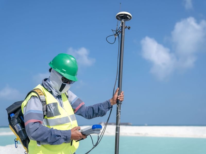
Why Field Verification of Earthwork Quantities Matters
Excavation and backfill quantities are among the largest cost items in construction and infrastructure projects. Any error in their calculation means a direct financial loss for one party. Regular field verification protects the rights of both the owner and the contractor and prevents disputes that can delay the project. El-Eman's surveying team follows a rigorous methodology for measuring earthwork volumes to ensure fairness and transparency.
The Basic Methodology
The standard approach involves conducting a topographic survey before excavation begins to record existing ground levels, then a second survey after excavation is complete to document the final levels. The volume difference between the two surfaces is calculated using approved methods such as the cross-section method, the grid method, or digital terrain modelling.
The Cross-Section Method
This is the most common method for road and canal projects. Cross-sections are observed at regular intervals along the centreline, the area of each section is calculated, and the average of two consecutive section areas is multiplied by the distance between them to obtain a partial volume. Partial volumes are summed to give the total. Accuracy depends on the spacing between sections and the number of points observed in each one.
The Digital Terrain Model Method
This approach is more accurate because it uses every observed point to build a three-dimensional surface representing the ground before and after excavation. The volume difference between the two surfaces is computed using specialised software such as Civil 3D or Surfer. It is particularly suited to sites with irregular shapes and complex terrain.
Practical Tips for Checking Quantities
Attend the survey both before and after excavation, or appoint a representative to ensure the process is carried out correctly. Request a detailed report that includes level maps, sections, and step-by-step volume calculations. Compare computed quantities against design estimates to catch significant deviations. For details on service costs, refer to the surveying cost guide.
Documentation and Reporting
Every volume measurement should be backed by a comprehensive report that includes the survey date, instruments used, and crew names. The report should also contain level maps for before and after excavation, cross-sections and longitudinal profiles, detailed volume calculation tables, and field notes. This documentation is essential for resolving future disputes and preparing payment certificates. The contracting team at El-Eman coordinates with the survey team to ensure smooth and complete documentation.
The Bottom Line
Field verification of earthwork quantities is not a routine formality; it is a fundamental tool for cost control and protecting the rights of every project stakeholder. If you need assistance in this area, review the frequently asked questions or contact us directly.